Upgrade to High-Speed Internet for only ₱1499/month!
Enjoy up to 100 Mbps fiber broadband, perfect for browsing, streaming, and gaming.
Visit Suniway.ph to learn
Satellite rendering of Tropical Depression Dante as of 3:20 p.m. on Tuesday, July 22, 2025.
PAGASA
MANILA, Philippines — One of the low pressure areas brewing inside the Philippine area of responsibility (PAR) developed into Tropical Depression Dante on Tuesday, July 22.
According to state weather bureau PAGASA, Dante formed at 2 p.m. and was last spotted east of Aurora province, near the boundary of the PAR.
PAGASA is also monitoring two low pressure areas, one situated 225 kilometers east southeast of Basco, Batangas and another outside PAR — about 2,850 kilometers east of Eastern Visayas.
Both have a medium chance of developing into a tropical depression within the next 24 hours.
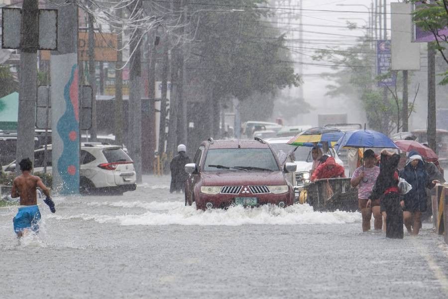
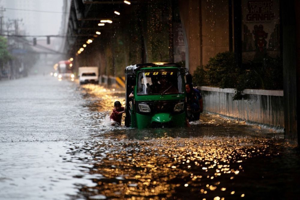
The southwest monsoon, or habagat, has already been drenching several provinces in Luzon and the Visayas, even before a low pressure area intensified into a tropical depression.
This has already triggered severe flooding in urban centers and low-lying areas, and landslides in susceptible areas.
Malacañang has already suspended classes and government work in Metro Manila and 36 other provinces on Wednesday, July 23, due to heavy rains and floods ranging from ankle- to head-deep.
The Department of Interior and Local Government also announced its own list of suspensions, covering 30 areas.
The state weather bureau advised the public to refer to its official channels for updates on the weather systems drenching the country.
The first tropical cyclone bulletin for Dante will be issued at 5 p.m. on Tuesday.
For a list of class and work suspensions, please refer to this list.