Upgrade to High-Speed Internet for only ₱1499/month!
Enjoy up to 100 Mbps fiber broadband, perfect for browsing, streaming, and gaming.
Visit Suniway.ph to learn
Already have Rappler+?
to listen to groundbreaking journalism.
This is AI generated summarization, which may have errors. For context, always refer to the full article.

LPA. Satellite image of the low pressure area as of December 3, 2025, 3 pm.
PAGASA
Once the low pressure area becomes a tropical depression, it will be given the local name Wilma
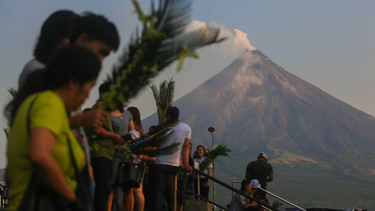
MANILA, Philippines – The low pressure area (LPA) being monitored by the weather bureau entered the Philippine Area of Responsibility (PAR) at 2 pm on Wednesday, December 3.
By 3 pm, the LPA was located 1,095 kilometers east of southeastern Luzon — still too far to affect the country.
But the Philippine Atmospheric, Geophysical, and Astronomical Services Administration (PAGASA) said the LPA has a high chance of developing into a tropical depression within 24 hours.
Once it becomes a tropical depression, it will be given the local name Wilma, as the country’s 23rd tropical cyclone for 2025.
It will also be the first tropical cyclone for December. The weather bureau expects one or two tropical cyclones to form within or enter PAR during the month.
PAGASA already issued an initial rainfall advisory for the potential Wilma at 5 pm on Wednesday, warning of significant rain during the latter part of the week, particularly in Eastern Visayas and Bicol.
Thursday afternoon, December 4, to Friday afternoon, December 5
- Moderate to heavy rain (50-100 millimeters): Northern Samar, Eastern Samar
Friday afternoon, December 5, to Saturday afternoon, December 6
- Moderate to heavy rain (50-100 mm): Catanduanes, Camarines Sur, Albay, Sorsogon, Northern Samar, Eastern Samar, Samar, Biliran
The affected regions should brace for possible floods and landslides.
In the meantime, on Wednesday evening, the northeast monsoon or amihan may bring moderate to at times heavy rain to Cagayan Valley and the Cordillera Administrative Region, and isolated light rain to the Ilocos Region and much of Central Luzon.
Meanwhile, the shear line could trigger scattered rain and isolated thunderstorms in Aurora, Quezon, and Camarines Norte. The shear line refers to the point where cold air from the northeast monsoon converges with the easterlies or warm winds from the Pacific Ocean.
PAGASA also said the intertropical convergence zone may cause scattered rain and thunderstorms in Basilan, Sulu, and Tawi-Tawi. Flash floods and landslides are possible, too. – Rappler.com
How does this make you feel?
Loading