Upgrade to High-Speed Internet for only ₱1499/month!
Enjoy up to 100 Mbps fiber broadband, perfect for browsing, streaming, and gaming.
Visit Suniway.ph to learn
Satellite image shows three low pressure areas being monitored as of 8 a.m. on July 22, 2025.
PAGASA via Facebook
MANILA, Philippines — One of the low pressure areas (LPAs) being monitored by state weather bureau PAGASA has a high chance of developing into a tropical depression.
As of 8 a.m. on Tuesday, July 22, the LPA, estimated to be 1,140 kilometers east of Central Luzon, may intensify into a tropical depression within the next 24 hours, according to PAGASA.
Meanwhile, two other LPAs have a “medium chance” of developing into tropical cyclones over the same period.
One of them, located within the Philippine area of responsibility (PAR), was last spotted 225 kilometers east southeast of Basco, Batanes.
The other, still outside PAR, was located around 2,850 kilometers east of Eastern Visayas.
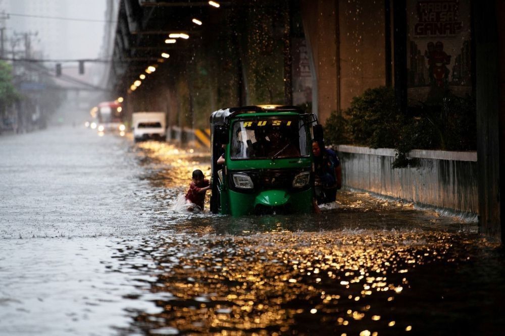
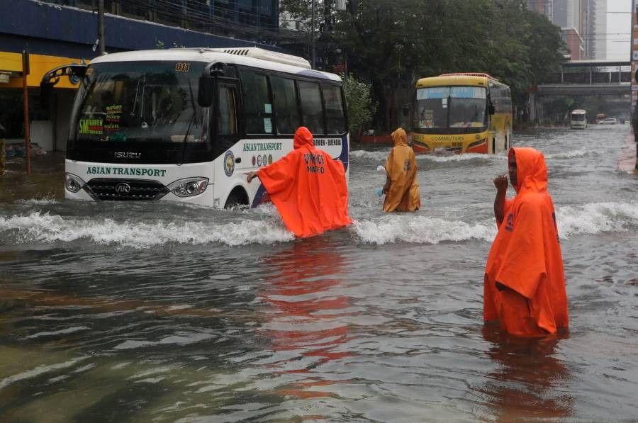
RELATED: Monsoon rains to hammer Metro Manila, Luzon until Thursday